Across the summits in the west of Graz
A long but well-structured hike through western Graz. Long forest paths, striking viewpoints, and several opportunities to stop for refreshments make this hike particularly varied.
Between dense forests, scenic hilltops, and cosy places to stop for refreshments, this varied hike leads across the western part of Graz. From Gösting Castle via the Fürstenstand to the Rudolfswarte lookout tower, you will experience impressive panoramic views, peaceful nature trails, and charming spots to take a break – an ideal tour for anyone wanting to discover the green side of Graz.
Facts
-
16kmLength
-
06:00hDuration
-
630mClimbing
-
650mClimb down
-
352mLowest level
-
757mHighest point
More
Start of the tour: Jakominiplatz
Getting to the starting point of the tour: Take bus line 40 from Jakominiplatz to the starting point of the hike, the final stop in Gösting. Here you can find all important information about buses and trams in Graz »
Getting back: City bus 32 or 62 from bus stop Straßgang Zentrum
Our tips for your journey to Graz:
Arrival by train: If arriving by train, get off at Graz Main Station (Grazer Hauptbahnhof) and take a tram toward the city centre (Tram stop: Jakominiplatz).
- Information: ÖBB www.oebb.at or Verbundlinie Steiermark www.busbahnbim.at
- With the BusBahnBim app from Verbundlinie, timetable information is easier than ever: all connections by bus, train, and tram in Austria can be searched by entering places and/or addresses, stops, or important points of interest. The app is available free of charge for smartphones (Android, iOS) on Google Play and the App Store.
Arrival by car:
You can reach the provincial capital Graz directly via the A2 or A9 motorways. All information about parking in Graz can be found here »
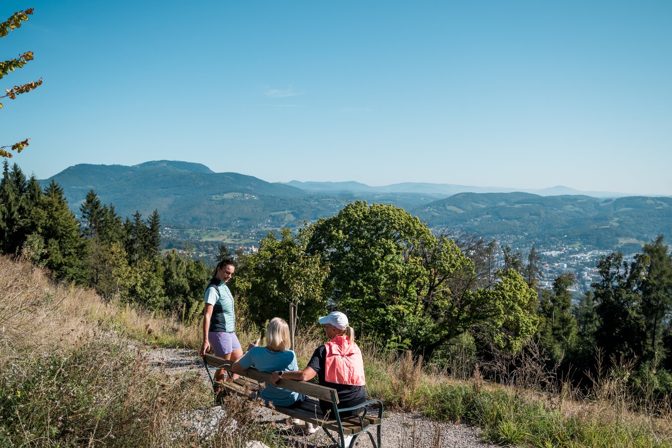
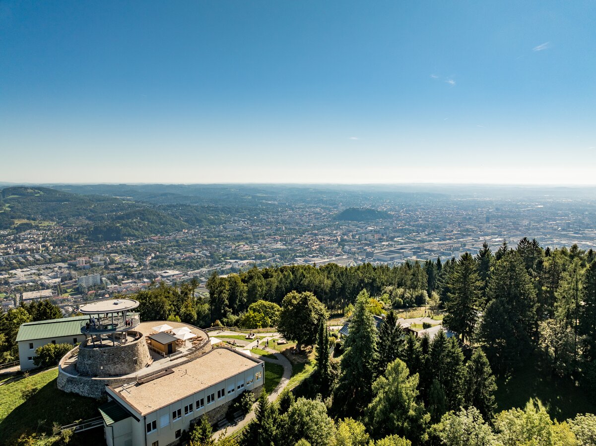
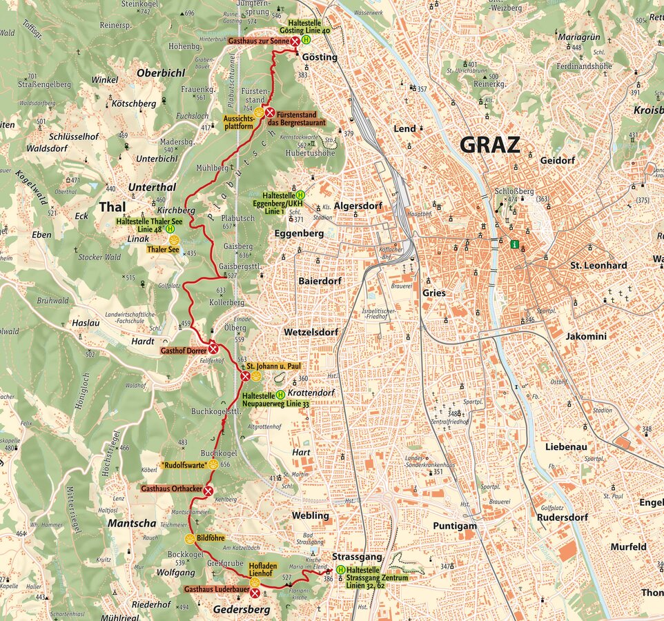
From Jakominiplatz, take bus line 40 to the starting point of the hike, the final stop Gösting. At Gösting Castle, the trail joins the Kernstockweg, which leads along the western edge of the city, traversing several hills in the Plabutsch and Buchkogel area. The ascent begins through the shaded forest up to Fürstenstand, one of the city's most famous viewpoints. Depending on your fitness level, you can choose between a shorter, significantly steeper route and a more moderate one. In both cases, you'll be rewarded with a panoramic view of the Graz Basin and the surrounding countryside.
The route continues past the radio tower towards Mühlberg and then descends along mostly natural forest paths to the Gaisbergsattel. From there, follow Thalerseestraße past Gasthof Dorrer, re-enter the forest, and continue to St. Johann und Paul. A church, a playground, and another viewpoint invite you to take a short break here.
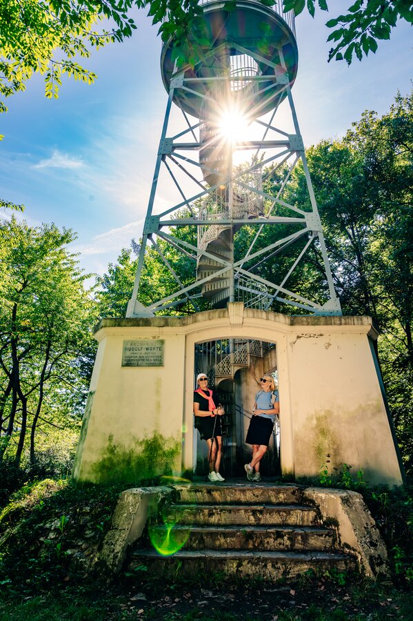
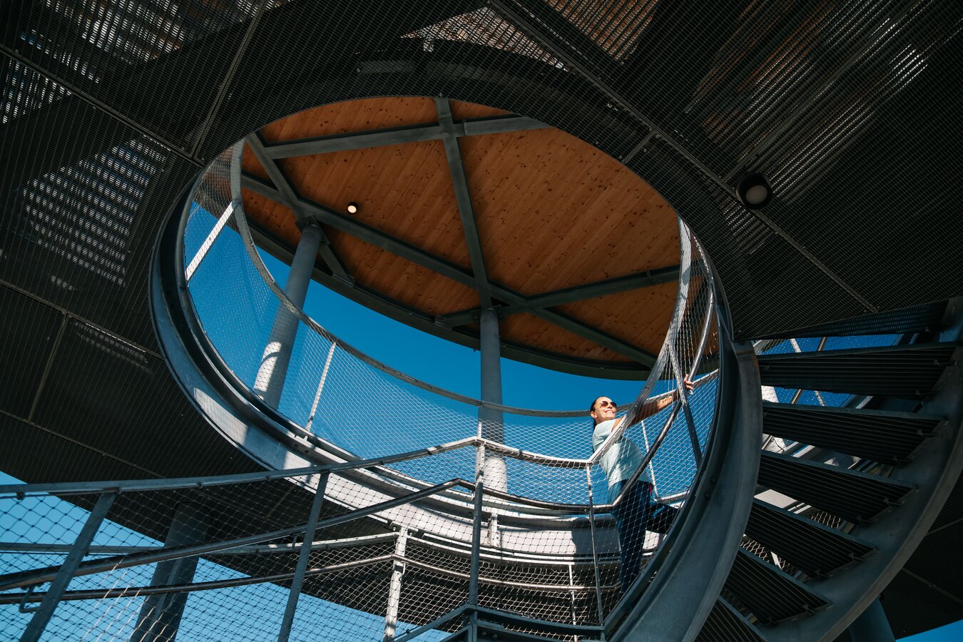
The trail then climbs upwards again, leading to the Rudolfswarte observation tower on the Buchkogel. Here, too, you'll be rewarded with an impressive view of Graz. The final section of the trail leads down sunny paths and shady forest sections to the end point of the hike in Straßgang.
Thanks to several access and exit points, the tour can be flexibly shortened: at Mühlberg to the final stop of tram line 1 at the UKH hospital, at Gasthof Dorrer with a regional bus connection, at the Gaisbergsattel with a descent to Thalersee (city bus 48), and at St. Johann and Paul with a descent to the Neupauerweg bus stop (city bus 33).
- Good hiking boots and walking poles are recommended for this tour!
- Sun protection & rain gear
- Drinks and snacks (there are places to stop for refreshments along the route)
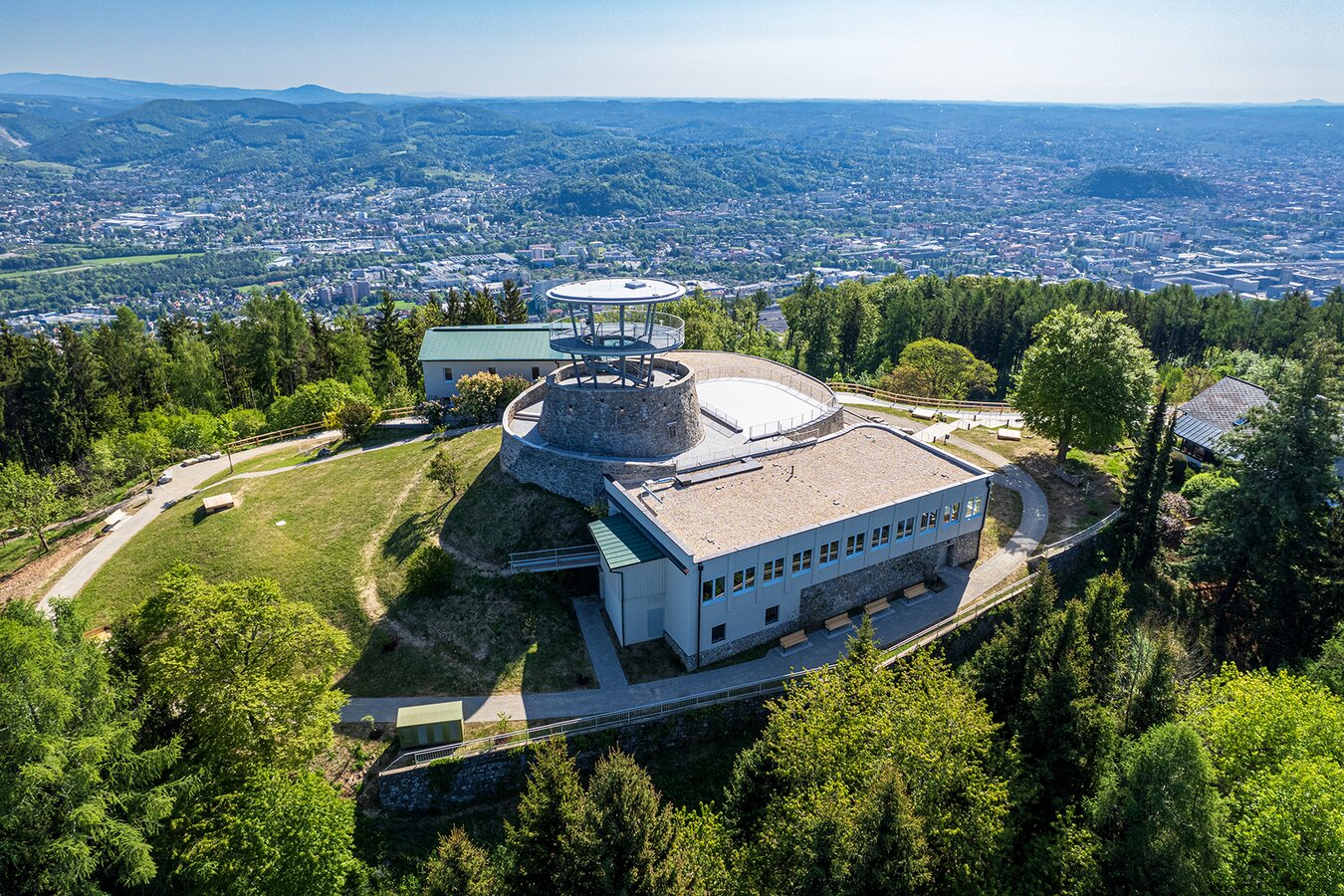
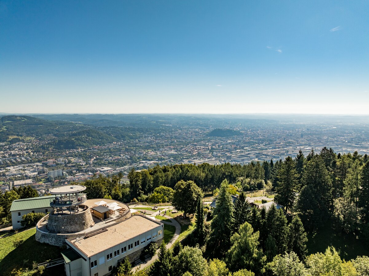
- View of Graz from the Fürstenstand
- Churhc St. Johann and Paul
- View from St. Johann and Paul
- Rudolfswarte
- Bildföhre
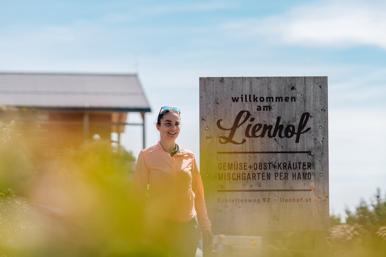
- Lienhof farm shop
- Floriani church
- Church Maria im Elend zu Straßgang